


Sunday 21st October 2018
An early start and bright, beautiful sunshine for Walk 1 – just us for this one. We caught the 8.57 train from Marylebone.

With each station we passed, the people waiting on the platforms looked more cheery, and – most certainly not in London at all anymore – we arrived at Great Missenden at 9.38am. Just before we stepped off the train I spotted a section in the book explaining how to follow its navigation. We decided we’d maybe get round to reading that at our lunch stop. Had a chuckle at the editor’s top tip (the editor is Nicholas Albery, I’ll call him Nick):
“Before the walk, in order to decide what to take, I look up Ceefax on BBC1, and Teletext on ITV to see how wet and cold it is likely to be (or you can call the relevant Weathercall or Weather Check regional number in the phone directory)”
Thus duly reminded the book is 13 years old, and Nick was clearly not living at the cutting edge, we moved on to the first paragraph of the instructions and immediately realised we should have brought along a proper compass. The compasses on our phones are great, but the phone batteries started to drain rapidly while we looked at them. With my phone on airplane mode all day, and only using it for the compass and camera, it was completely dead before we got home.
The first lessons of the day:
- check for handy instructions before setting off on the walk
- next time pack a compass
- and a portable phone charger
The walk didn’t take us into Great Missenden centre, but onto a housing estate and down an alley. The directions were (of course) out of date (2 wooden stiles replaced with 1 metal gate) but we managed to keep on track using the very handy compass directions.


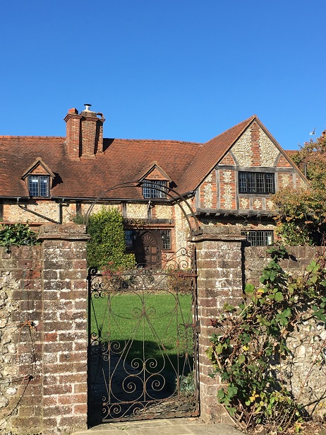
A gorgeous misty and sunny morning, we passed Oldham Hall and some old English cosy cottages.


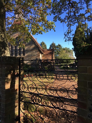
And we made it to the first point of interest noted in the book – The Parish Church of St Peter and St Paul. Nick has a thing for churches.
We arrived right in the middle of Sunday service, so we had to take Nick’s word for it that it contains an interesting marble monument to Lady Boys.
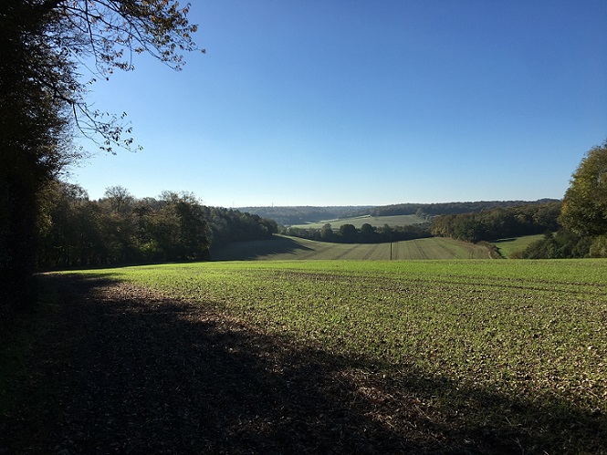
We skirted around the church and out onto a wide open field, with views back to the town through ancient oak trees.
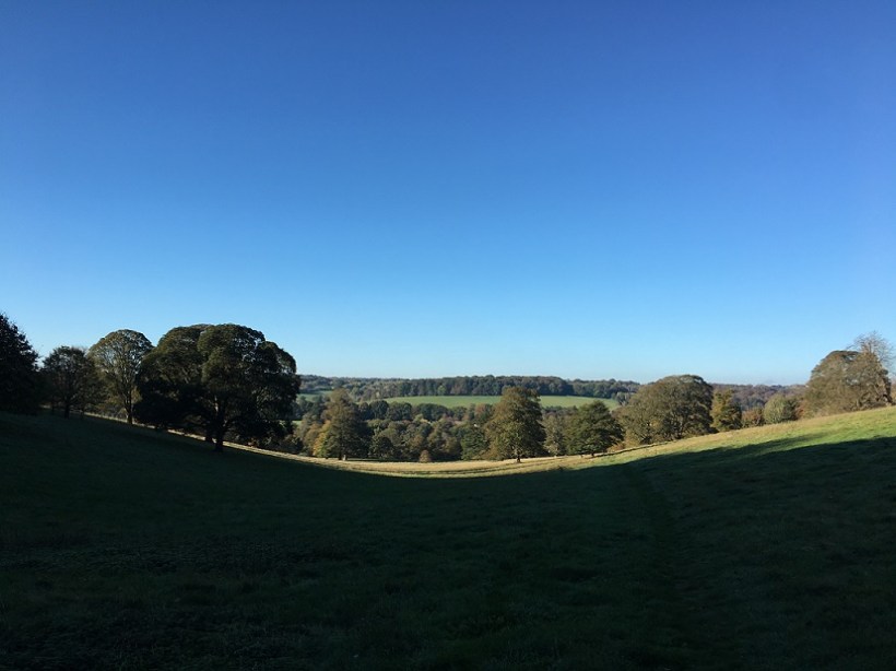
Tramping uphill through the dew covered grass, we cheerily said hello to everyone we passed and felt London leaving our systems as the dust was washed off our boots


(Apologies to the potato farmer, but we did follow a pre-trampled path!)
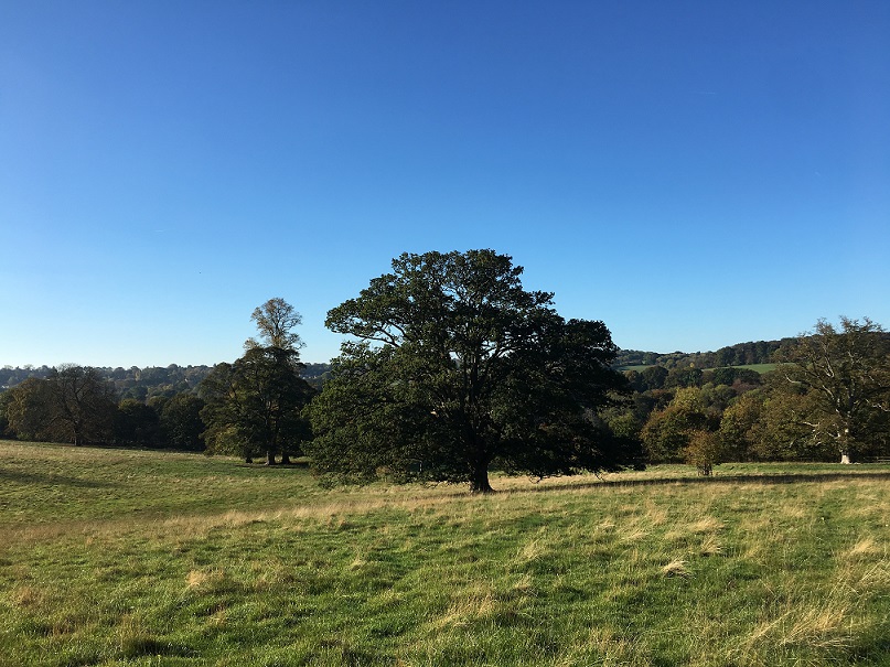
Navigation began to get more challenging – can you spot the stile here?
But we found our way and began to feel quite pleased with ourselves – perhaps this would be the first hike we’ve ever done where we don’t get lost!
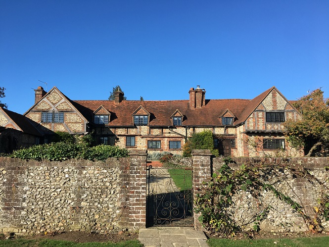
One of the best things about this walk was the interesting architecture in the little villages and hamlets, lots of ancient cottages and manor houses and 1920s art deco.
E.g. the “flintstone timber framed Chapel Farm with lighthouse lamps as decor” (if you can see any lighthouse lamps, let me know, I couldn’t spot them!)
But then……
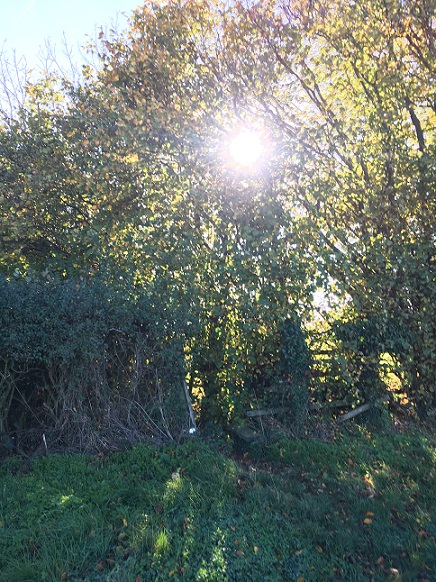
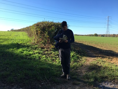
Navigation began to get even more challenging – sadly quite a few of the stiles Nick used for directions were in a sorry state.


But we found the remnants, and strode on. Keeping an eye on time – well aware we had a lunch booking at a busy pub at 12.30.
Nick then leads us into an open field and gives us this direction:
In 80 metres, at the end of a manure heap, where the wood begins to jut out, veer right for 3 metres on an indistinct path.
Thanks Nick.
Sometime in the past 13 years it seems the farmer moved his manure heap and the indistinct path became the undiscoverable path.
After just picking a spot that looked right-ish, we fought our way through the cobweb-strewn wood (not on a path) and found ourselves back on track, but had lost about 20 minutes.
We made it to Little Missenden and the next point of interest – St John the Baptist Church with its giant 13th century mural to St Christopher. Allegedly. Unfortunately Little Missenden church service is later in the morning than Great Missenden, so we hit mid service time again and couldn’t go in. It’s a shame as it’s the one thing Nick got excited about “it’s well worth a look inside”.
But the rest of Little Missenden was interesting enough for us. It must be a very ancient hamlet, sadly no info from Nick on this.


By the way, the formidable 1920s villa in the bottom left picture is currently for sale for the bargain price of £3.75m – this is firmly affluent “London” suburbia.
A couple of nice looking pubs in Little Missenden, but Nick had told us to go to the Squirrel at Penn Street, so on we went.


A nice cut through Penn Wood and we made it to The Squirrel 15 minutes early for lunch!


Fantastic service, but sadly mediocre food – and we discovered at around 1pm that it’s a hotbed for families with lots (and lots) of VERY LOUD children.


We didn’t stay long!


We made it to Coleshill and the next point of interest – All Saints Church. Nick didn’t have much to say about this one, and it seemed to be locked up, so we skipped past.
And then 2 fields out of Coleshill we got really, properly lost.
We had to invent the route a bit from here to Amersham. The path Nick followed “leads down to the A413. Cross it to pick up the public footpath visible on the other side..” and is no longer a rambling route. Time has moved on, and a whole lot more people now use the A413. So there’s now a much safer footbridge over the road, but getting to it added about another mile to our journey and took us away from Nick’s not-quite-so-trusty directions.


Anyway, after our detour, we found our way to Amersham old town – the end of the metropolitan tube line – and it’s surprisingly really nice! Nick recommends a cafe for tea, but the cafe’s no longer there and we’re still full of lunch, so we just sat in the sunshine instead.


And of course there’s a church. The final point of interest – the Parish Church of St Mary with a fancy gold porch (probably not the proper name for it).
It’s a 20 minutes walk uphill all the way to Amersham station. And then a very confusing time trying to find the right platform for trains to London, but (this not really being London and all) we were able to ask some strangers for help… Arrived at the station just before 3.30, back in London by 4.20.


By the time I got home, my fitbit had recorded 12.43 miles and 107 flights of stairs. So we reckon this walk was just over 10 miles in the end, and a fair bit steeper than a 3 out of 10 rating would suggest!


Muddy boots and happy people.
Best bits about this walk:
- the architecture
- it goes through gorgeous woodland and empty fields
- lots of horizon scanning and interesting hamlets and villages
- the journey there and back was pretty easy
Bad bits about this walk:
- Nick’s random use of a temporary land mark to navigate (hopefully a one-off!)
- the necessary detour outside Amersham (but this was still a scenic route)
- nice pub for lunch but disappointing food and a terrifying number of children
On the way home I finally read the preamble to the book, and discovered that Nick actually set up the Saturday Walkers Club website I mentioned in post 1. It recommends checking that site for updates to the book. Perhaps I will next time (but perhaps I won’t).
Next walk will be on Sunday 4th November.
